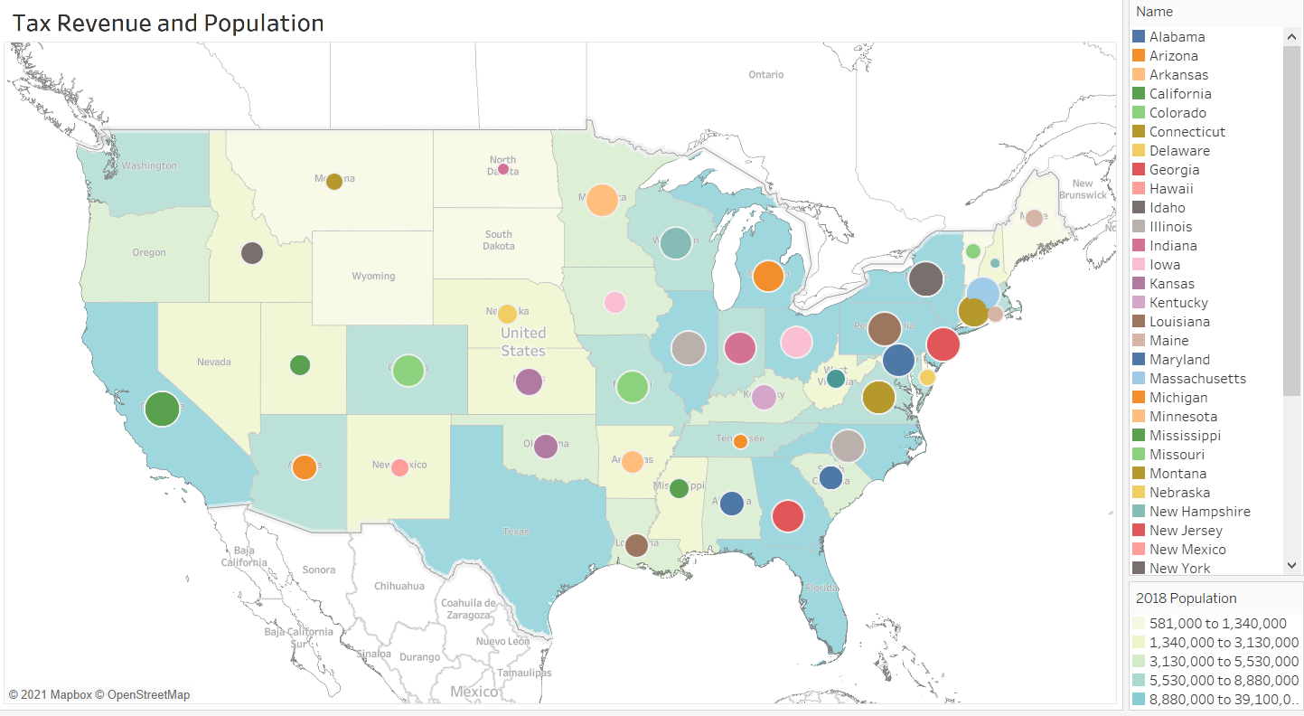
Geographic Maps
- Two styles of maps for displaying geographic data:
- dot map
- uses markers to note specific spots on the map
- filled map
- filled map, fills in borders of a location
- layered maps
- combine the two
- dot map
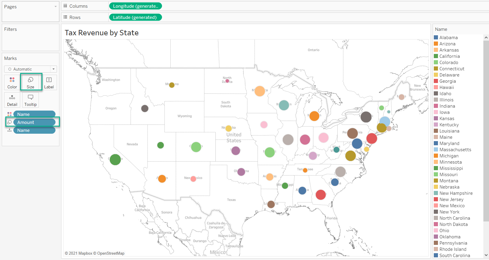
Dot Maps
Dot maps are maps that display geographic data using markers to note specific spots on the map.
- used when
- we want to pinpoint a location
- or highlight an amount of data occurring within a particular point
- size of dot can convey large values
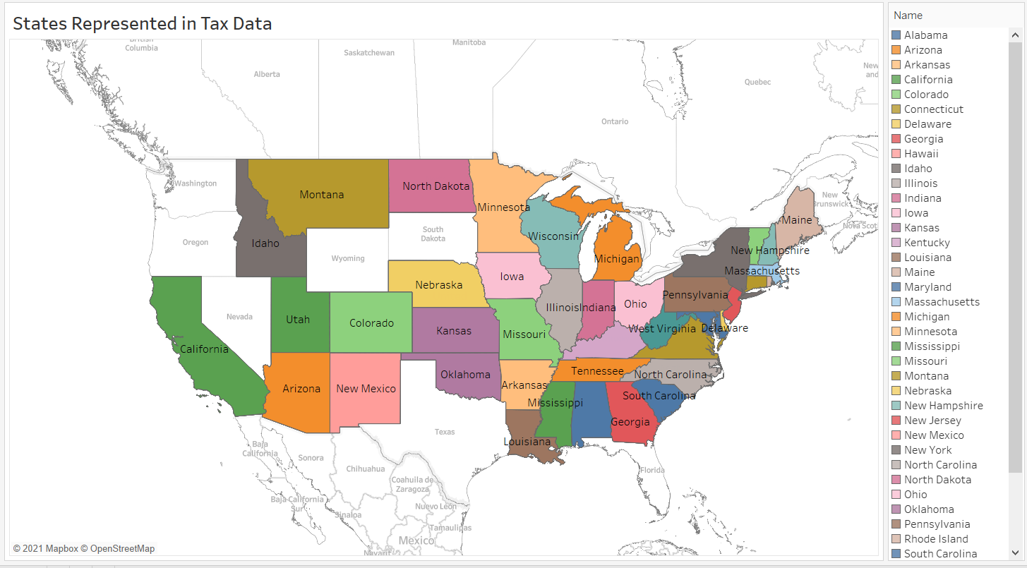
Filled Maps
Filled maps are maps that displays geographic data by filling in the borders of a location.
- aka chloropleth maps
- can use shading to denote values
- potential to be deceiving
- color ranges may not show differences as well
Layered Maps
Layered maps are maps that display geographic data by both using markers and filling in borders.
- contain different layers for various data points within the data set
- can display two data sets